
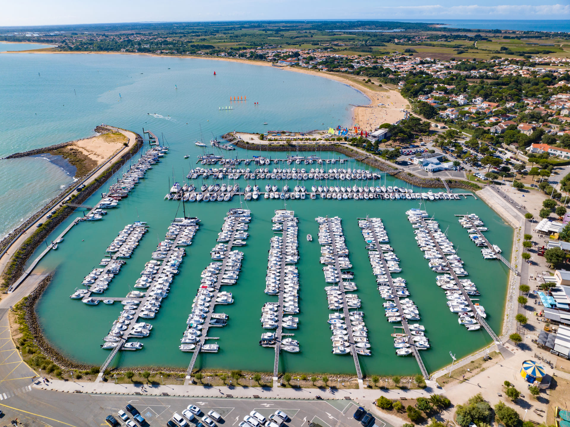
Oléron starts here, on the quayside ![]()
Port map
French port map
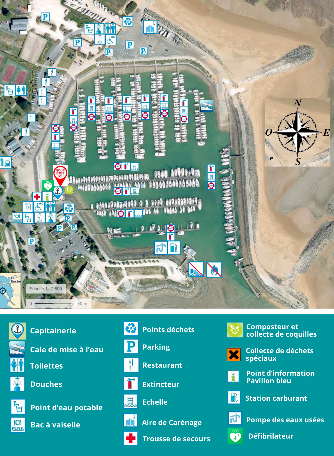
The map below shows the location of each harbor facility: pontoons, careening area, slipways, commercial area, onshore parking and access to sanitary facilities. Use it to prepare for your arrival or to orientate yourself once docked.
English map: Saint-Denis-d’Oléron marina
The map below will help you locate the main facilities of the marina: pontoons, fuel station, visitor berth (pontoon A), harbour office, boatyard and sanitary blocks. Use it to plan your stopover or find your way around the port upon arrival.
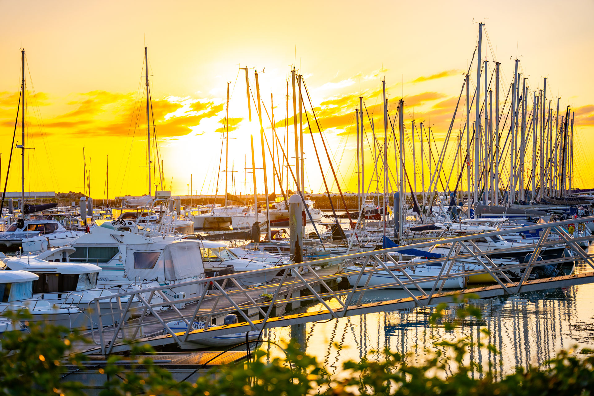
Discover the port
of saint denis d’oléron ![]()